设为首页
加入收藏
Tonghui River a Flowing Symphony of History and Fashionl
作者:Written and photographed/Yang Naiyun Translation/Beijing Transyes Education Technology Co., Ltd
来源:旅游杂志社
发布时间:2020-10-19 16:24
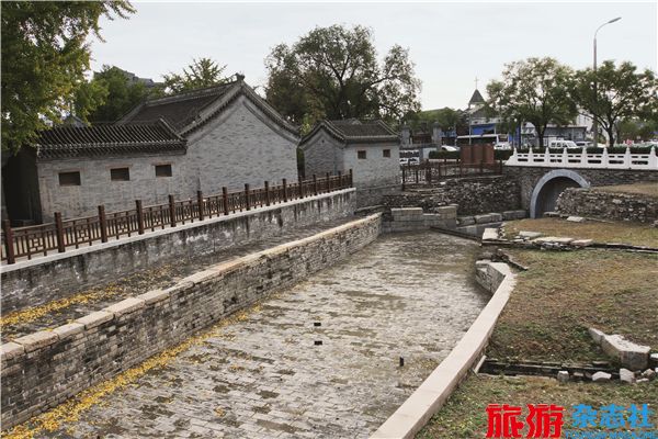
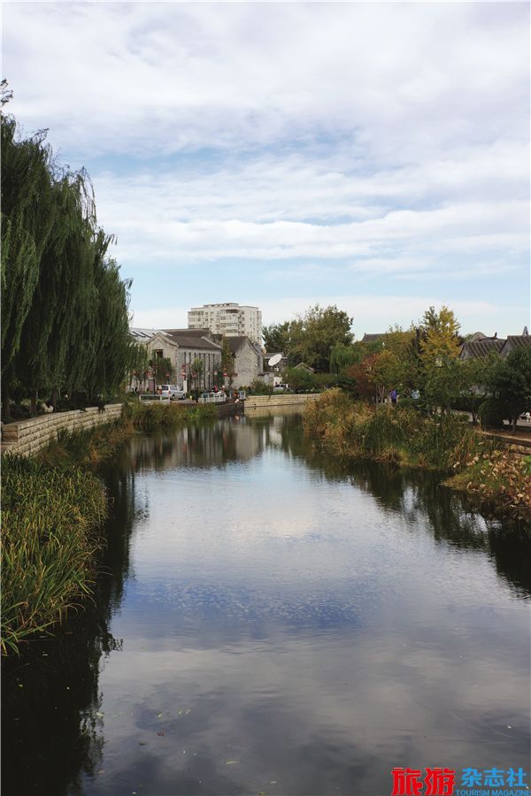
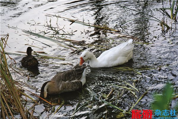
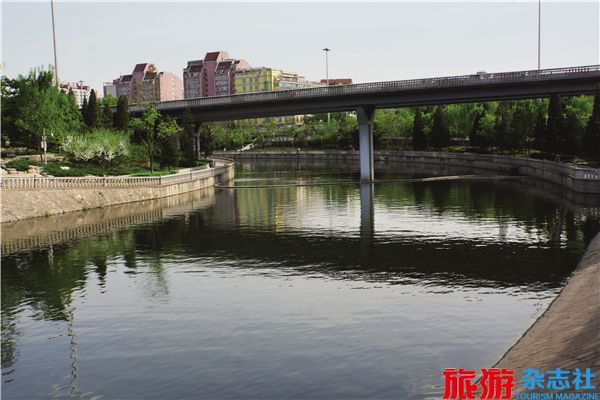
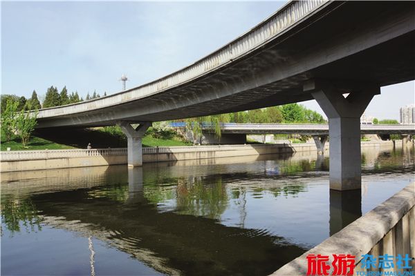
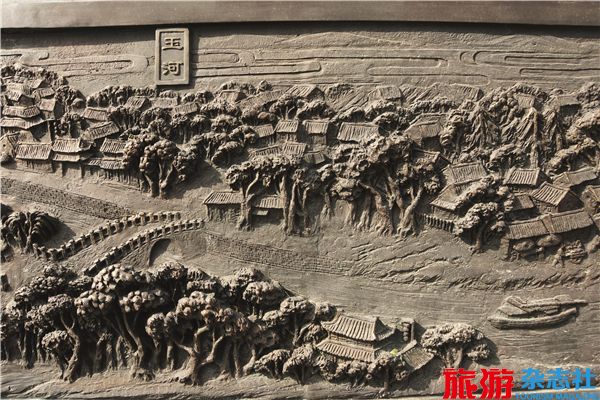
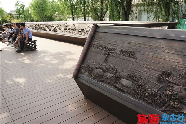
The Yu River and the Datong River are actuallythe same one, which also named the Tonghui River,a section of the Grand Canal of the Yuan Dynasty(1271-1368), connecting Capital City and theNorthern Canal. The Tonghui River was known asDatong River in the Ming Dynasty, while the originalTonghui River flowing in the city of Beijing adopted thealternative name Yuhe River. The Yuhe River refers to thespecific section of Tonghui River enclosed in the ImperialCity, which is why cargo ships for grain transportationwere only allowed to arrive in Tongzhou. Later in the QingDynasty, the royal cargo ships for grain transportationwere allowed to dock at the Datong Wharf, and thegrain would be transferred by barges or carriages tothe Chaoyangmen Gate and then distributed to theimperial granaries scattered in Beijing. As the citydeveloped and changed, the Yu River, with most ofits watercourses within the Imperial City abandoned,finally transformed into the underground river. Theruins of Yu River, stretching from Houmen Bridge atthe east end of Lake Shichahai to Beiheyan Streethas reappeared due to two terms of reconstructionprojects since 2007. The beautiful scenery with a riverflowing through streets and alleys was brought backto the city. The section of Datong River to the eastof the Dongbianmen Gate was also unveiled with anew appearance to show extraordinary splendor asa witness of the ancient culture of the Grand Canal.
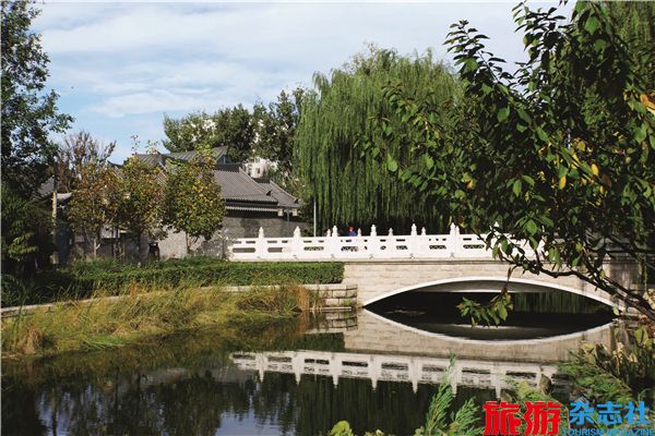
Lake Jishuitan, as a large wharf atthe northernmost end of the Grand Canalof the Yuan Dynasty, had faded in historyin the early years of the Ming Dynasty.After the Ming (1368-1644) and Qing(1636-1912) Dynasties, the LakeJishuitan has changed tremendouslywith its large size unchanged, but wasrenamed Lake Shichahai. Furthermore,there is a bridge from the Yuan Dynasty,which never changed its location despiteseveral changes of its appearance andname. Even to this day, it still functionsas a bridge and enjoys a good reputation,and that is the Wanning Bridge (HoumenBridge).
The bridge was named WanningBridge in the Yuan Dynasty and resumedthe name till the end of 2000. It has hadso many names before, each of whichis with its own meaning. In the YuanDynasty, the bridge was commonlyknown as Haizi Bridge because thewater where the Lake Jishuitan waslocated was called Haizi (lake). After theMing Dynasty, the bridge was namedDi’anmen Bridge or Di’an Bridgebecause it was in the north of Di’anmenof the Imperial City and opposite tothe Di’anmen. Di’anmen is the backgate of the Imperial City, so the bridgewas once called Houmen Bridge (BackGate Bridge). It was said that the nameWanning Bridge in the Yuan Dynastyimplied “Forever Peace, Forever Reign”.
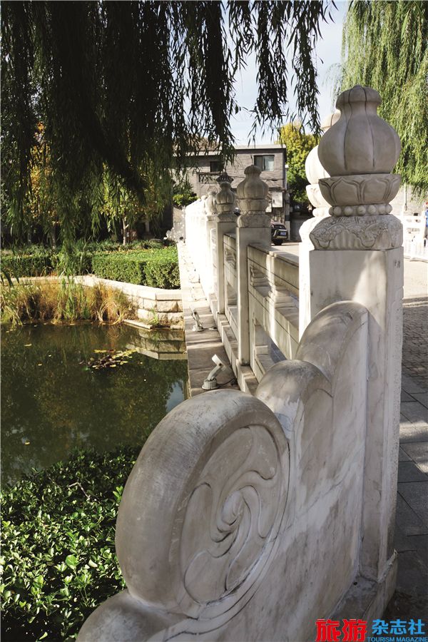
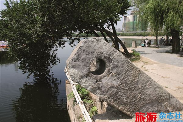
Wanning Bridge is located on thecentral axis of Beijing nowadays, andaccording to the historical materials, itwas also situated on the central axis ofthe Imperial City in the Ming and QingDynasties and of the Capital City inthe Yuan Dynasty. The central axis hasa close connection with the meridian,which is terminated by the North Poleand the South Pole, connecting points ofequal longitude on the Earth’s surface.Traditional thinking holds that, forsuccessfully building the city of Beijing,it was a taboo to take the meridian asthe central axis; therefore, the centralaxis was shifted slightly to the east,which has been verified by experts withspecific tests. In 1950s, a stone rat and astone horse were unearthed on the westside of Wanning Bridge and the westside of the moat at the ZhengyangmenGate, respectively. In ancient times,Chinese people used “the 12 terrestrialbranches” to name the hours and the12 Chinese zodiac animals to tell thetime. Coincidentally, if connecting thelocations where the stone rat and thestone horse were unearthed, the lineexactly matches the central axis ofBeijing, at the north end of which liesthe Wanning Bridge. The position of thestone rat under the Wanning Bridge builtin the Yuan Dynasty is the best piece ofevidence for the aforesaid fact.
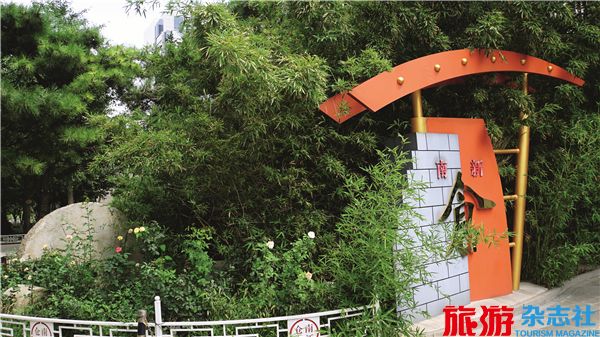
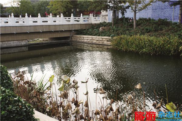
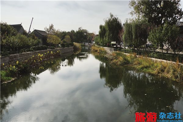
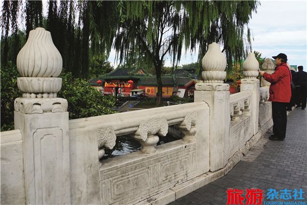
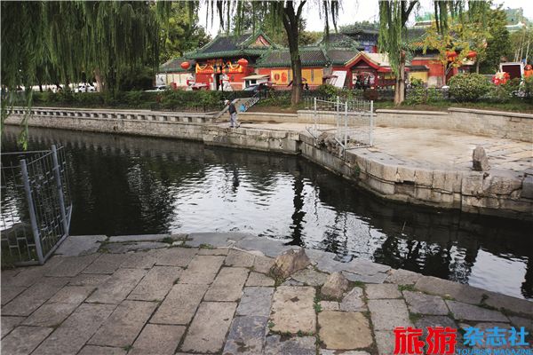
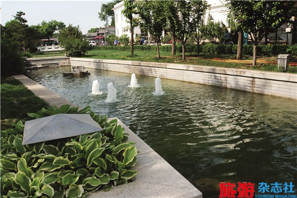
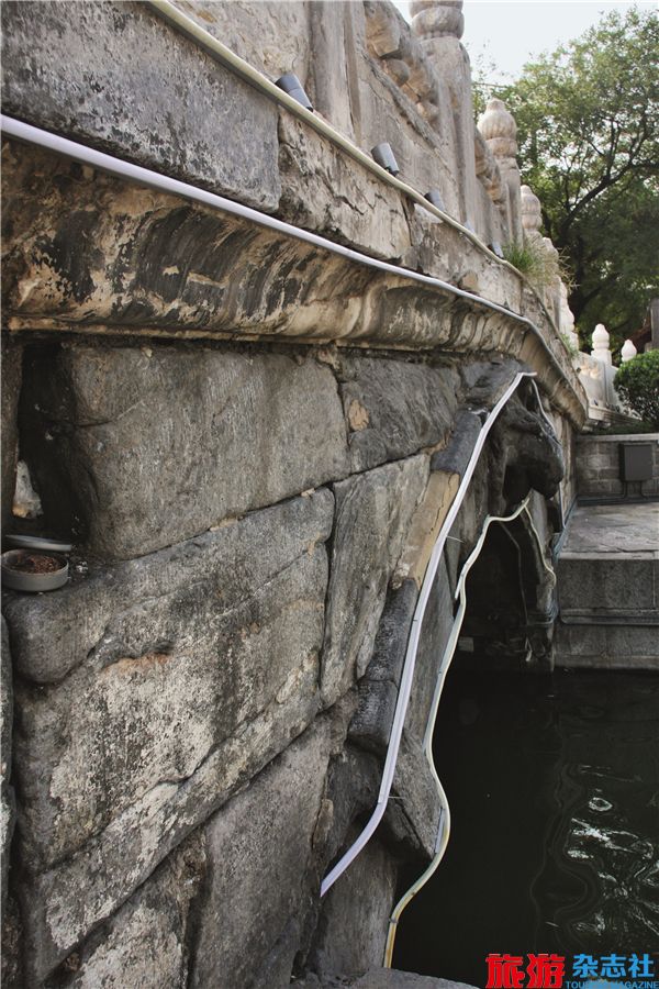
Today, the Wanning Bridge spansover the Yu River, which with stonedikes on both sides. A short section ofthe Yuhe River on the west side of thebridge is connected with the Qianhai(front lake) of Lake Shichahai, and theTonghui River Relics Park on the eastside of the bridge is commonly knownas the Yu River Relics Park, which isseparated by the Ping’an Avenue intotwo parts: the North Part of Yu RiverRelics Park covers the watercourse fromthe north of the Dongbuya Bridge tothe east of the Wanning Bridge and theareas on the both sides of water coursefrom the south end of Dongbuya Hutongto the west end of Maoer Hutong; theSouth Part of Yu River Relics Park,which does not have an exact name,is opposite to the North Part and has asimilar watercourse as that in the NorthPart. The watercourse of the North Part,with a big river bend, flows under theWanning Bridge to the east and turnssouth to the Dongbuya Bridge afterpassing through a curved bridge; thewatercourse of the South Part runs tothe south and turns east soon to the westside of Beiheyan Street. The JixiangSub-district Office is located on thesouth side of the river, and the northsouthHuangchenggen Relics Park issituated on the other side of the roadwayof Beiheyan Street, which is built on theancient watercourse of the Yu River stillburied underground. From the names ofstreets and hutongs like Beiheyan (northriver bank), Shatan (sand beach), andNanheyan (south river bank), it can beconcluded that, during that period, theoriginal Yu River, which converged withthe Jinshui River and the Tongzi River, flowed to the south from the NanyanheStreet and turned east to run into thewater area nearby the Datong Wharf andpour into the Datong River after passingthrough the Datong Gate.
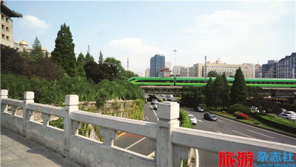
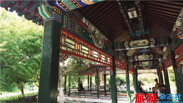
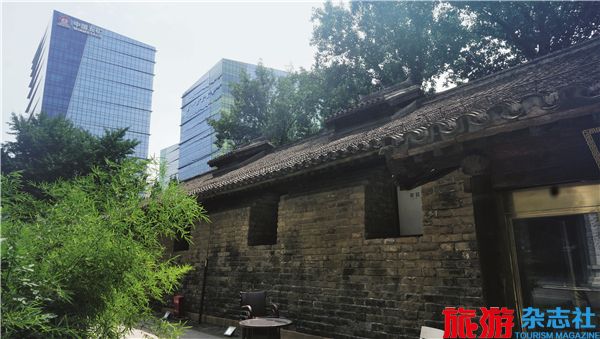
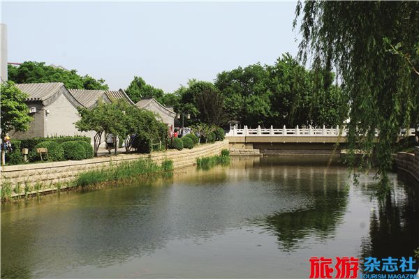
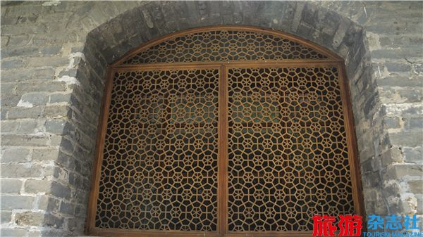
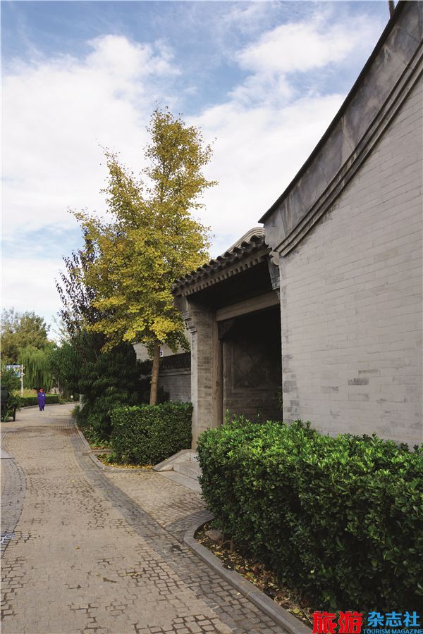
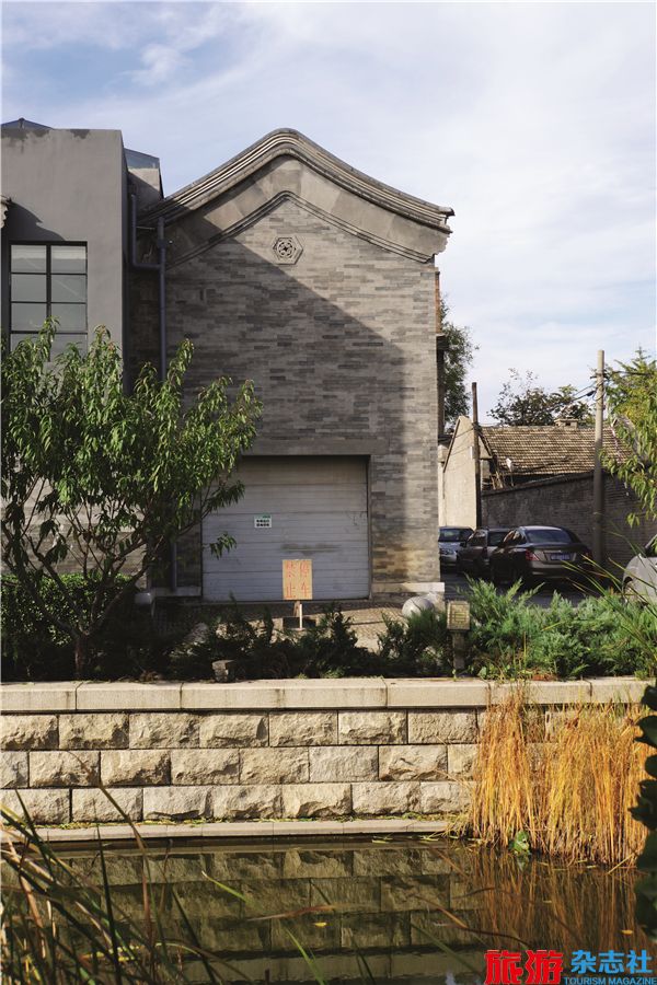
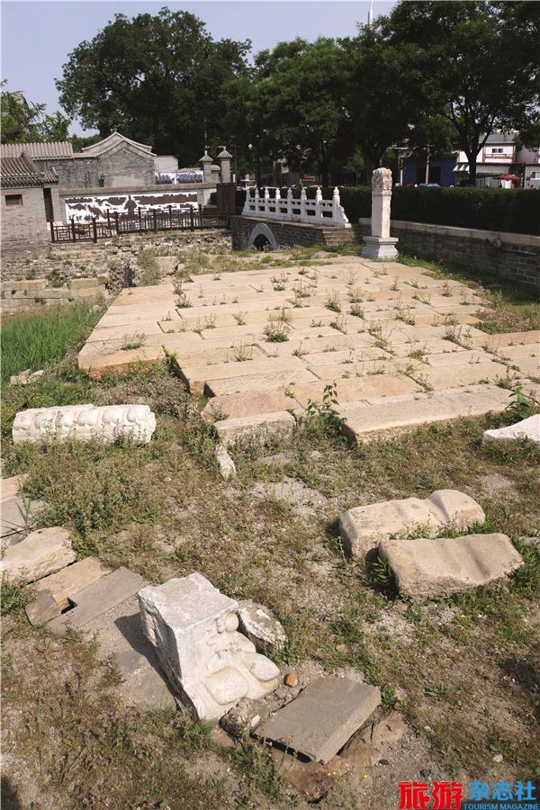
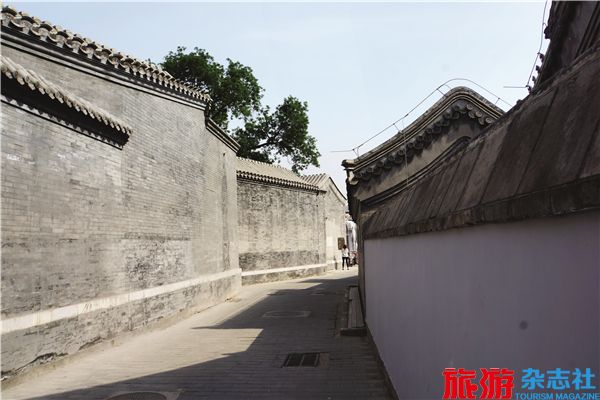
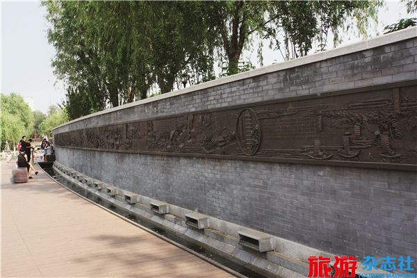
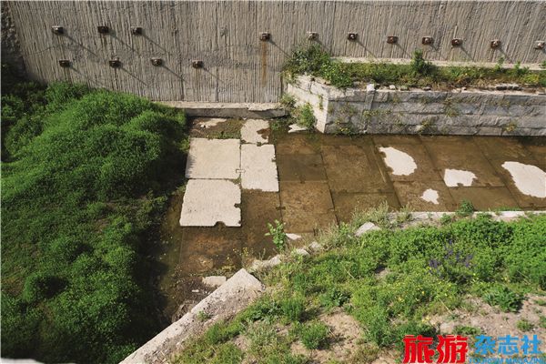
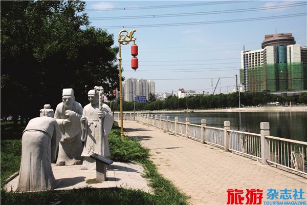
On the east of the North Partof the Yu River Relics Park lies theinternationally renowned South LuoguLane, which is a well-preservedhistorical and cultural block with anumber of former residents of celebritiesand an endless stream of tourists allday long. The architectures along thetwo sides of the watercourse are built inthe antique style to reproduce the pastscenes of the Ming and Qing Dynasties.In addition to several ancient bridgesspanning over the river, there is awooden curved bridge painted in a colorof brownish red. Along the banks ofthe river, there are waterside pavilions,artificial hills, and lush plants, includingwillows, gladiolus, flowers, trees, andreeds. When wandering along the river,you may feel like traveling back tothe ancient times. On the west side ofFuxiang Hutong and under a marblebridge, the newly replenished waterof the Yu River was cut off to exposea wide section of ancient watercoursefrom the south of the marble bridgeto the Dongbuya Bridge. Even thoughit looks like a big pit, the section ofancient watercourse is full of historicaland cultural connotations. It is consistedof the vault face of the DongbuyaBridge, the approach bridge, the berthsof the ancient watercourse, the river bottom paved by bricks, andthe approach bridge bases paved by stones, all of which are thehistorical relics from the Ming and Qing Dynasties. Time has leftmarks on all of the bricks, tiles, and stones, to deliver a strongsense of vicissitudes. This section of the ancient watercoursein the Yu River Relics Park is a site specially kept as it wasbefore the unearthing of the ancient watercourse of Yu River in2007. On the east bank of the river, there are the rebuilt YuheNunnery, the unearthed stone tablet, and the Dongbuya HutongArchitectural Complex. A cluster of Beijing’s old-fashionedresidences are strewn at random like guardians defending theriver dikes and the approach bridge of the Dongbuya Bridge, thus adding a sense of vicissitudes to the river.
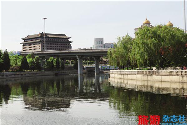
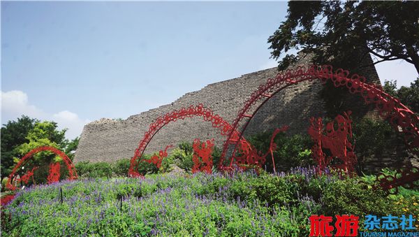
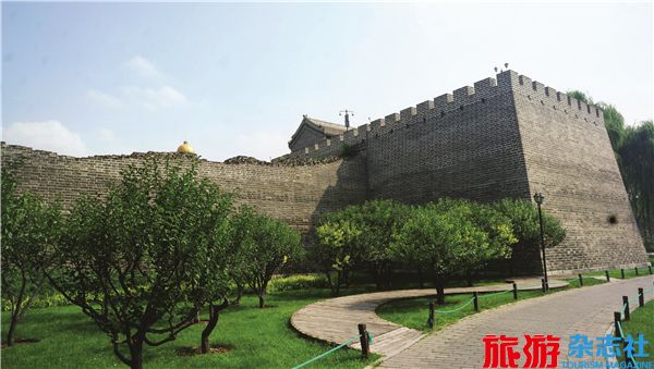
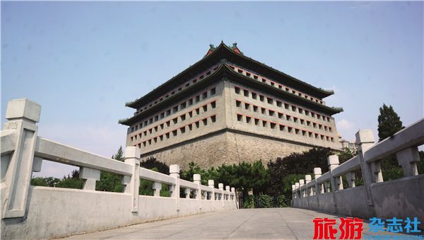
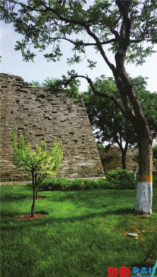
Almost all the Beijinger hear about the DongbianmenGate, while few of them could specify its look and location,unless seeing it before it was removed in 1958. Several decadeshave passed, Dongbianmen Gate now is no more than a namefor site, flyover and bus stop.
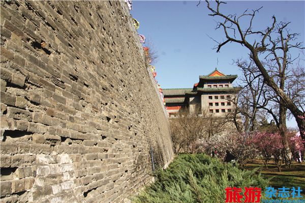
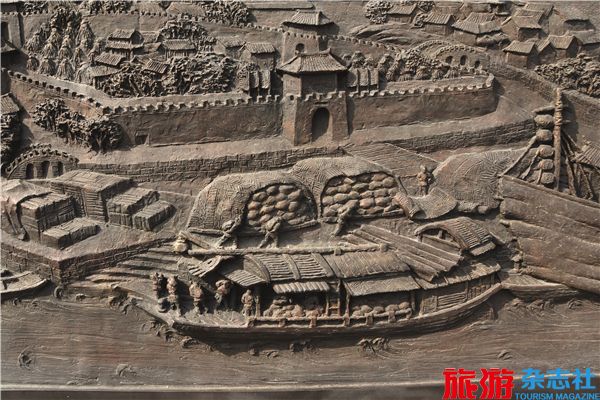
Why do we introduce the DongbianmenGate here? What does it have to do withthe Grand Canal? When you walk to thefoot of the Watchtower, you will find twoartificial marble tablets lying at the cornerof the square slightly to the west, one ofwhich inscribed “Flat Peach Palace” and theother “Canal Transport Wharf”. The notesread, “The Beijing-Hangzhou Grand Canalwas built during the reign of Emperor Yangof Sui Dynasty, starting from Yuhang Cityin the south and ending at Tonghui Riverin the north. The riverway by the northeastside at the foot of the Watchtower in theinner city is a wharf, also the northend of Tonghui River.” Therefore,here Dongbianmen Gate was oncea riverway and a wharf at the northend of Tonghui River as well.
Datong Bridge, a three-arch stonebridge outside the Dongbianmen Gatein Ming Dynasty, has arches and sharpnosepiers, which are in favor of waterdiversion. There are vertical stonegrooves on the side walls of the fourpiers, which could hold wooden screensto block the flow. Datong Bridge servesas both bridge (Datong Bridge) andfloodgate (Datong Floodgate). It’s alsocalled the First Floodgate, namely thefirst floodgate along the Tonghui River.Datong Bridge, Datong Floodgate andDatong Wharf were still in existenceuntil the late Qing Dynasty.
I have seen the oldphotos of Datong Bridge, Datong River and Datong Wharf andfound the wide riverway and intensivebarges, as well as the city wall,watchtowers and Dongbianmen Gatevivid in mind, which make me feel thateverything has gone. The Datong Wharfat the Dongbianmen Gate was nowhistory.
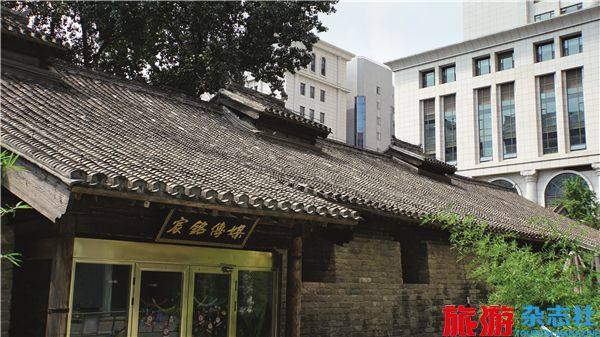
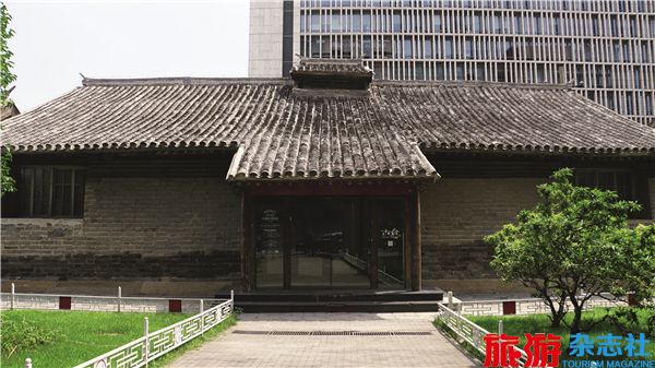
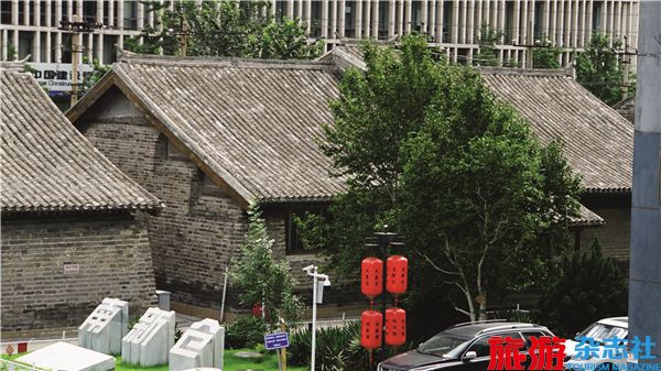
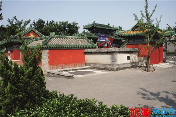
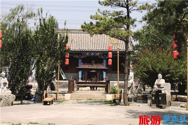
Nanxincang is an official warehousefor grain set up in the inner city ofBeijing in Ming and Qing Dynasties,commonly known as Dongmencang. Itwas initially built in 1409 (the seventhyear of Emperor Yongle’s reign of theMing Dynasty) as an important part ofthe Grand Canal scenery ……
 京公网安备 11010502035003号